The Ordnance Survey Interactive Atlas of Great Britain: Fourth Edition (included game)
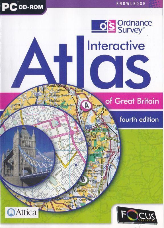
Description
The Ordnance Survey Interactive Atlas of Great Britain: Fourth Edition is a factual title with many features including;* Scales ranging from 1:250 000 to 1:25 000
- Town and city centre plans
- A gazetteer with over fifty five thousand place names
- Personalised maps
- Tutorials
- Photographs of places and features
- and an interactive quiz
The interactive quiz is called the 'Round Britain Quiz'. It is a timed single player game in which the player is asked a series of questions about regions of the UK. The player must answer three questions correctly before they can leave the current region and progress to the next region, the challenge being to complete all regions within five minutes